In the vast expanse of our oceans lies a world of mystery and wonder, largely unexplored and often inaccessible to human observation. Yet, thanks to advancements in satellite technology, scientists and researchers are now able to delve deeper into the secrets of the ocean than ever before.
Satellites: Eyes in the Sky
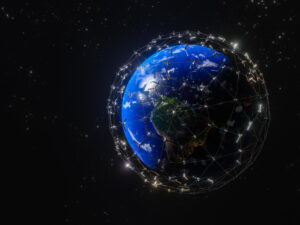
Satellites serve as invaluable tools for oceanographers, providing a bird’s-eye view of the Earth’s oceans with unprecedented detail and accuracy. Equipped with specialized sensors and instruments, these orbiting platforms can detect a wide range of oceanographic phenomena, from sea surface temperature and salinity to ocean currents and phytoplankton distribution.
Monitoring Ocean Dynamics
One of the primary uses of satellites in oceanography is monitoring ocean dynamics. By observing changes in sea surface temperature and ocean color, scientists can track the movement of heat and nutrients throughout the oceans, gaining insights into phenomena such as El Niño and La Niña events, as well as the formation and evolution of ocean currents.
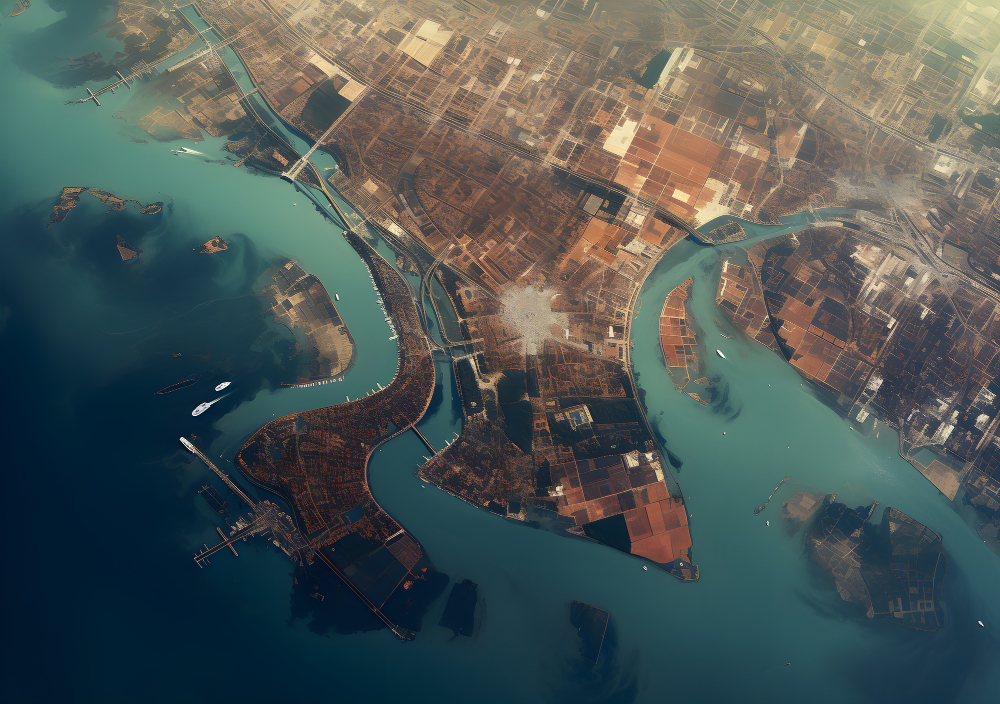
Mapping the Ocean Floor
Satellites also play a crucial role in mapping the ocean floor. Using techniques such as satellite altimetry and bathymetry, researchers can create high-resolution maps of underwater topography, revealing previously unseen features such as seafloor ridges, trenches, and volcanoes. These maps not only aid in navigation and exploration but also provide valuable insights into the geology and tectonics of the ocean basins.
Studying Marine Ecosystems
Another important application of satellite technology in oceanography is the study of marine ecosystems. By monitoring changes in ocean color and productivity, scientists can assess the health of phytoplankton populations, which form the base of the marine food web. This information is crucial for understanding the impacts of climate change, pollution, and overfishing on marine biodiversity and ecosystem dynamics.
Improving Weather Forecasting
In addition to their role in oceanographic research, satellites also contribute to weather forecasting and climate modeling. By continuously monitoring atmospheric conditions over the oceans, satellites provide data that is used to improve the accuracy of weather forecasts, track the development of storms and hurricanes, and study long-term climate trends.
Conclusion
In conclusion, satellites have revolutionized the field of oceanography, providing scientists with a powerful tool for studying the world’s oceans with unprecedented detail and accuracy. From monitoring ocean dynamics to mapping the ocean floor and studying marine ecosystems, satellite technology continues to unlock new insights into the mysteries of the deep. As our understanding of the oceans grows, so too does our ability to protect and preserve these vital ecosystems for future generations.